Geodesy and Earth Observation

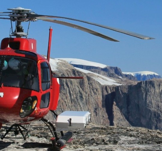
En stor del af afdelingens arbejde er relateret til klimaforskning. (Foto: DTU Space/Finn B. Madsen)

(photo dtu space/finn b. madsen)

GEODESY AND EARTH OBSERVATION

We do research to support the society’s need for geodetic knowledge and infrastructure of the highest quality and robustness and explore advanced space–borne data. Key areas of expertise are research within height systems, global reference network including surfaces for the ocean, gravity and geoids, physical modelling of the solid Earth and the state and development of the cryo- and hydrospheres. We work intensively in the Arctic regions, are dedicated to the national geodesy and provide global references.

Contact this division
GNET

GNET

59 GNSS stations in Greenland are managed by DTU Space on behalf of SDFE. (Photo: DTU Space/T.Nylen)
Partners

Partners

The Department of Geodesy and Earth Observation collaborate with prominent research institutions and national authorities within geodesy including reference frames, methodologies and data. (Illustration: NASA)
Publications

Publications

The researchers in Geodesy and Earth Observation publish their research results in internationally recognized journals and publish reports with technical content. In addition, the department contributes to the general public information via written and digital media as well as to international "assessments" such as the IPCC and AMAP. (Illustration: DTU Space/ESA)
Employees

Employees

We are a dedicated and diverse staff, which includes researchers, engineers, PhD students, technical and administrative support staff as well as international guest researchers. Thus, the division has a compresses a variety of competences which combined  enables us to conduct research at a very high international level. (Photo: DTU Space)
Smelteis på Grønland om sommeren. (Foto: DTU Space/ESA)

(dtu space/esa)

RESEARCH

we carry out research within the fields of satellite, airborne and ground based geodesy and Earth observation, GNSS, geodynamics, gravity, the cryosphere and hydrosphere, geoinformatics and related topics. In addition, we have a special focus on polar research.


Gravity fields

Gravity fields

Science and research within gravity fields and geoids at the highest level developing methodologies and sensors through international projects. and with a special focus on Greenland and the Polar regions and support climate change science and geodynamics. (Illustration NASA)
Hydrosphere

Hydrosphere

Develop and create reference surfaces for the ocean from gravity, mean sea surface and tides. Research on applying altimetry data to obtain information about ocean and inland waters. Long-term change of water level with special focus on coastal and polar regions as well as inland water. (Photo: DTU Space/Skyfish)
Navigation

Global Navigation Satellite Systems (GNSS)

Research within height systems and global reference networks. Study the atmospheric effect on the GNSS signal. Engineering, data and sensor fusion to improve positional accuracy and robustness within drone navigation. (Photo: DTU Space)
Geodynamics

Geodynamics

Physical modeling of the solid Earth, ice sheets and the oceans with the aim to develop dynamic reference frames and integrated models. The use of GNET data to understand the development ice-solid earth interaction. (Photo: ESA)
Cryosphere

Cryosphere

The Cryosphere group study of the present-day state of the cryosphere - levels of sea ice and land ice - and how to optimally map essential climate variables of the cryosphere from data gathered by satellite and airborne missions as well as in situ measurements. The main focus is on altimetry by airborne campaigns in the Arctic for observation and validation. (Photo: R. Tilling)
GIS, Mapping and Land Surveying

GIS, Mapping and Land Surveying

Geographic Information Systems, Mapping and Land Surveying are the very basic instruments to create and manipulate geospatial data. (Photo: DTU Space)

Gletsjer Grønland. (Foto: DTU Space)


DTU Space contributes to the climate reports published by the UN's Climate Panel IPCC. Among other things, we observe the melting of the ice and the derived sea rises in and around Greenland via satellites, aircraft and measuring stations on land. Data from this effort is part of models for predicting the future water level in the world's oceans. (Photo: DTU Space)