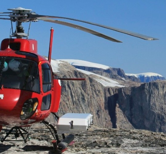
GNET

The division is developing and maintaining the 59 GNET GNSS stations in Greenland in close collaboration with SDFE that owns the network.

The data from the GNSS stations document the movement of the Earth’s crust. These data are utilized across the various research fields in the department and is an important research infrastructure - the impressive field laboratory. We are utilizing the GNET data to:

  • Develop the basic geodetic reference in Greenland
  • Making accurate assessments of the melting of the ice cap
  • Determine the grounds response to the melting
  • Create references to the mean sea level
  • Study and assess disturbances in the GNSS signal caused be the ionosphere
  • Study GNSS reflectometry to derive additional information
  • Combine land movement data with gravity surveys

We encourage very much all collaboration around GNET - internally at DTU and externally.